By Libby Skidmore
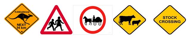
WE SEE so many signs along the roadsides as we travel. Many are quite useful and some are obvious but some make you think! But do you know where the first road sign in Victoria was placed?
WE SEE so many signs along the roadsides as we travel. Many are quite useful and some are obvious but some make you think! But do you know where the first road sign in Victoria was placed?
Captain John Murray in command of the “Lady Nelson” sailed into Western Port in December 1801. He anchored near Churchill Island and hurried to the gardens that had been planted six months before.
He wrote that the growth of the corn and wheat was quite remarkable and a bushel was harvested for three pairs of captured swans. He expected to see indications of the developing seal industry at Western Port but there were no signs of further habitation.
While they were anchored at Elizabeth Cove (near the present site of Ventnor) two soldiers made the exciting discovery of a new source of water thereby overcoming the drudgery of negotiating the narrow channels and mudflats to the Freshwater Creek at Bass. They had discovered a series of springs. Murray was enthusiastic about the water and wood supplies of the cove but he described the trees as “very small and invariable decayed” and believed the area “would poorly pay a settler”.
With haste the party levelled a pathway to roll the water butts from the spring which was not 50 metres from the seaside. Victoria’s first road sign was erected there on December 19, 1801! Murray wrote in his journal: “I got a large board hung up at the entrance of the road to fresh well or spring on which was painted in oil colours directions for any stranger how to get to the watering place”.
Meanwhile they feasted on the bounty found in this new place. Nine large swans of 8 or 9 pounds each, lots of fish, large quantities of oysters, mussels and other shell fish. The New Year “was ushered in by splicing the main brace and three cheers”.
From the archives of the Bass Valley Historical Society. This essay was first published in the Waterline News.