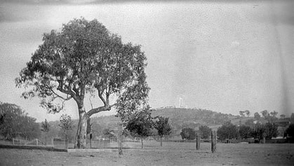
 The original Hovell Tree in Albury
 A young eucalypt at the State Coal Mine commemorates the first European explorer to venture overland to the Wonthaggi plains. Terri Allen reports.
By Terri Allen
HAVE you visited the Hovell Tree planted at Wonthaggi’s State Coal Mine? Do you realise its significance?
This tree is a grafted clone of a river red gum Eucalyptus camaldulensis growing on the bank of the Murray River in Albury. It was blazed and inscribed by William Hovell on November 17, 1824, when Hume and Hovell ventured from Yass to Corio Bay, being the first Europeans to cross the river to find an overland route to Western Port.
William Hovell, 38, a retired sea captain, relied on Hamilton Hume, 27, an Australian-born bushman and explorer, for his ability to live off the land, negotiate with Aboriginal tribes and navigate through the bush. They mistook Port Phillip Bay for Western Port (although Hume revised this opinion, Hovell stubbornly stood by the mistake), but paved the way for farming and settlement in the future Victoria.
The tree no longer produces viable seed so had to be reproduced by grafting. Albury City Council commissioned Humphris Nursery in Melbourne, a specialist in grafting natives, to produce a limited number of trees which have been planted by local councils from Yass to Geelong.
Why plant one in Wonthaggi?
Hovell continued his venturing, joining Captain Wright and Wetherall who were sent to forestall the French on the southern shores at Western Port. On December 3, 1926, the party established Fort Dumaresque near Rhyll before relocating to Corinella on December 12 1826. Hovell realised when he explored the environs of the bay that he hadn’t been to the mangroved northern shore, so Hume must have been right.
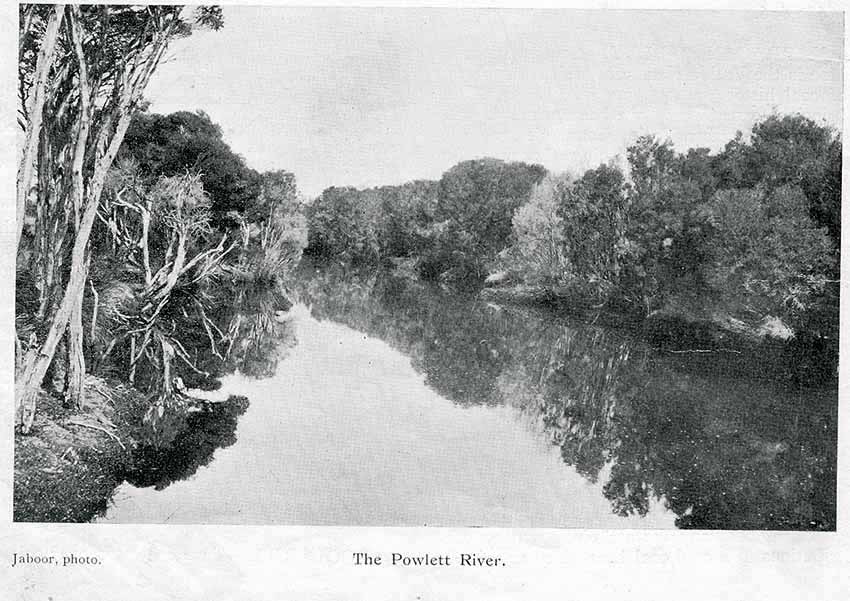
On one excursion, he explored south of Corinella, crossing the Bass and Powlett rivers and the Wonthaggi heathland to discover black coal at Harmers Haven. In fact the part of the Bunurong Coastal Reserve south of Old Boiler Road was known as Hovell Reserve until recently.
A report of Hovell’s trek (William Bland’s Journey to Port Phillip by Hovell and Hume, Appendix V) reported thus: “The space traversed by Mr Hovell between Bass River and Wright’s River consists almost entirely of fine land, alluvial near the Rivers, and the rest of it a good rich strong arable soil from 15,000 to 20,000 acres in extent. The range running between those Rivers is lofty, but not steep; fit for almost any agricultural purposes, and abounds with the best possible timber, particularly its Southern aspect. The whole of this space seemed badly watered, and the water met with, aluminous – excepting the immediate vicinities of the Rivers which are perfectly fresh, within three or four miles of their mouths.
“Bass River was deep where Mr Hovell met with it, and more than thirty feet wide. Wright’s River is a somewhat smaller stream; but this was during a period of long continued drought, from which the whole Colony had most severely suffered. The spaces between Wright’s River, Cape Patterson and the Shallow Lagoon, consists of a low undulating, heathy surface badly watered; with here and there a patch of good timber. At Cape Patterson coal was plentiful and good, laying partly above the surface and some of it jutting into the sea.”
So Hovell was our first white explorer venturing overland (the sealers and whalers were confined to the shoreline, the wattlebarkers not moving far inland), the first to chronicle the area.
Visit the Hovell Tree near the skips at Easterm Area and perhaps go for a drive beside Hovell Reserve.
