 The view from the mullock heap to the desal park
 By Geoff Ellis
WEST Area Road shouldn’t be a mystery. It starts at the hospital roundabout and leads past Donmix, the rescue station, the motocross track and Townsend's Nursery, only to come to a sudden halt at a locked steel gate. What lies beyond?
Early this week I took a stroll with Neil Rankine along the track that starts at that locked gate. It heads for the desal park (AKA the Victorian Desalination Plant Ecological Reserve) but can't quite get you there due to a strip of farmland that is the missing link in a trail that should be Wonthaggi’s version of The Tan.
The rarely trodden path heads for the mullock heap, a massive tribute to the labour of the coal miners who lived and sometimes died underground to feed their families and keep the trains running.
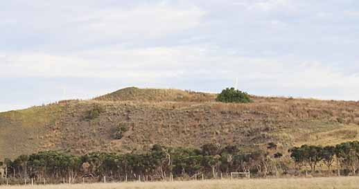
Like a pyramid that was built skip load by skip load.
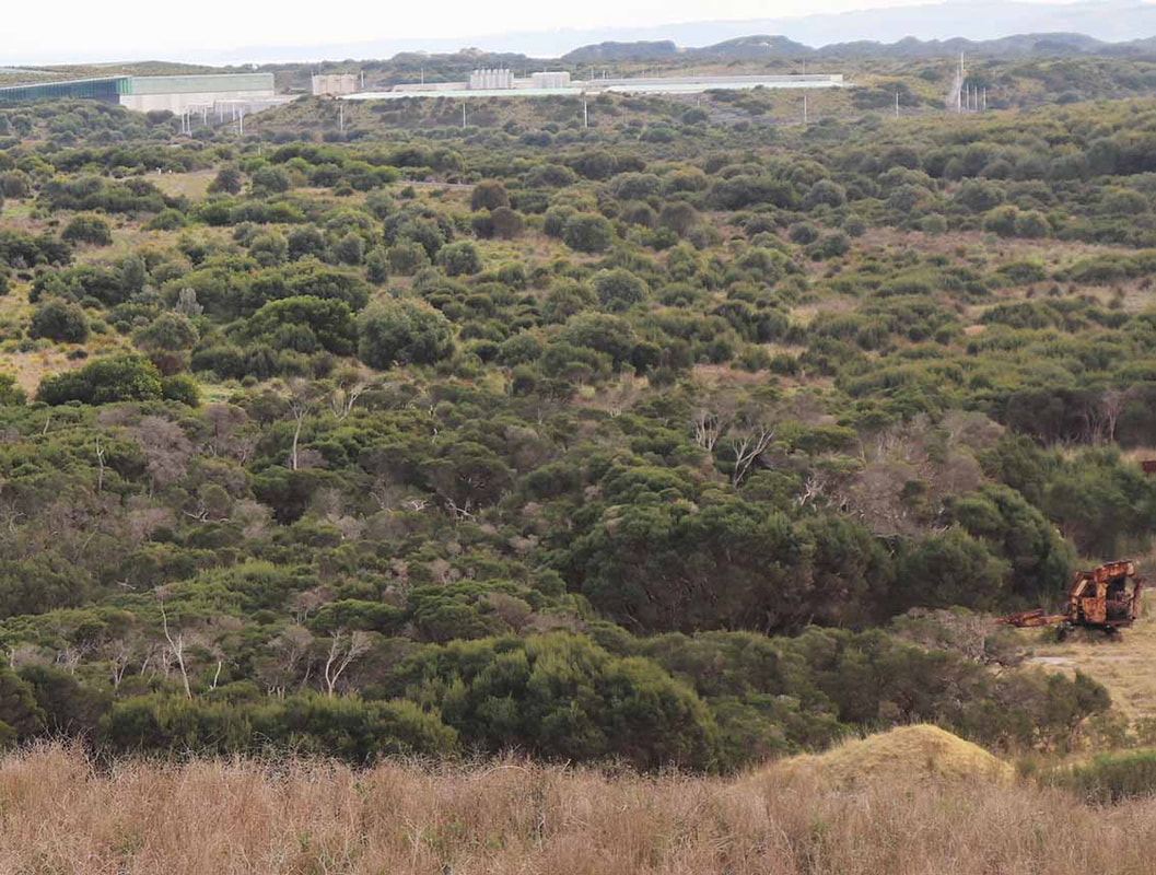
It’s a pretty steep heap but the reward at the top is the best view in town. Sure, it's mega windy but this person-made pinnacle should be guard railed and promoted as the start of the desal walking track.
View to the north
From that ad hoc lookout it's all downhill to an area that was once the centre of the redstone processing business that supplied gravel to the shire and private industry. (See https://www.basscoastpost.com/local-history/a-young-man-and-his-truck)
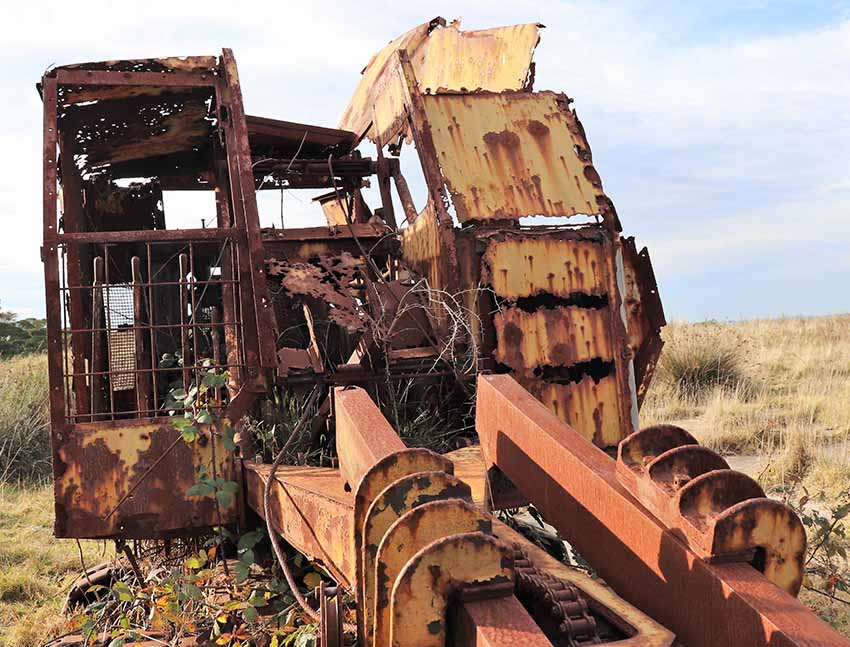 Industrial dinosaur from the age of cables and cast iron
 The path then winds west across overgrown concrete pads strewn with relics of coal mining and redstone crushing. One mystery is how all these pieces used to fit together. Another is why there was so much concrete. There's even a rare Harman excavator that seems to have been abandoned when its steel cable finally snapped under the weight of all that rock.
In the distance a concrete bunker stands impervious to the encroaching vegetation as the metal housings that used to be part of the machinery quietly rust where the scavengers left them after removing anything of value.
In the distance a concrete bunker stands impervious to the encroaching vegetation as the metal housings that used to be part of the machinery quietly rust where the scavengers left them after removing anything of value.
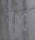 Ancient concrete art
 Amongst the tall spiky grass there's a bit of a wall that some long-forgotten artist decorated. Their fading initials mysteriously read KBC.
The path meanders through bushland until a farm fence bars the way. The missing link is on the other side. Except for this few dozen metres of farmland, we could stroll to the tracks that run through and around the desal revegetation area to link up with the path to Wonthaggi via Williamsons Beach and the Heathlands.
The path meanders through bushland until a farm fence bars the way. The missing link is on the other side. Except for this few dozen metres of farmland, we could stroll to the tracks that run through and around the desal revegetation area to link up with the path to Wonthaggi via Williamsons Beach and the Heathlands.
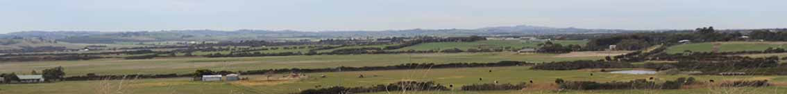
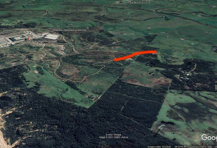 West Area Road to the desal park. The missing link is less than 200m
 "I'm sure the distance needing to be spanned is no more than the width of the rail trail,” Neil says, as we follow our footsteps back to the steel gate.
“We've successfully got farmers working on both sides of the rail trail with gates either side.
“This could be done with a crossroads, cattle grates on the walking sides, and two gates to allow the farmer to operate across the track.”
This trail could become a compelling 6-7km walk or ride through a variety of landscapes, Wonthaggi's version of The Tan. Complete with its own industrial dinosaurs. All it would take is access to that missing link and significant input from the Traditional Owners.
And a better name than Victorian Desalination Plant Ecological Reserve.